Holladay, Utah
198 Pictures: 0-20 , 20-40 , 40-60 , 60-80 , 80-100 , 100-120 , 120-140 , 140-160 , 160-180 , 181-198
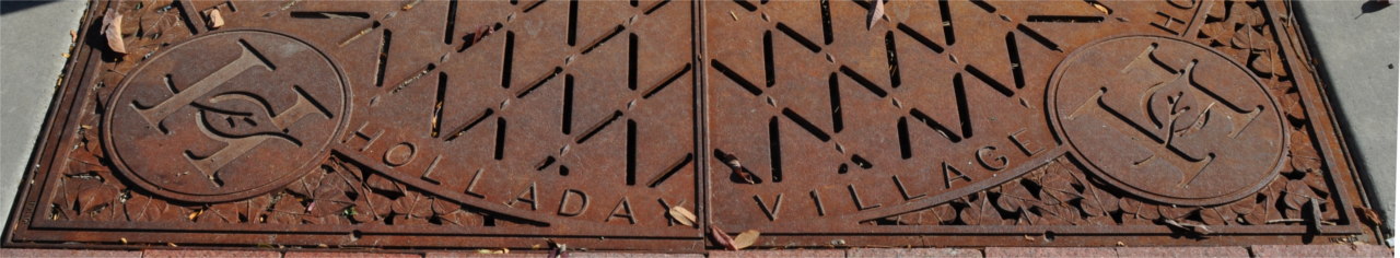
Holladay, Utah
Holladay, Utah is a suburban community in the Salt Lake Valley. The map shows Holladay stretching from 3900 South to about 6400 South, and from 1300 East to the edge of the Wasatch Mountains.
It appears that the town has extremely ambitious plans for the future. Recently, they tore down Cottonwood Mall and the section of buildings on the corner of 2300 East and Murray Holladay Boulevard.
Context: Towns-Utah
- Black Diamond Campus (18 pictures) This gallery shows pictures of the Black Diamond complex on 3900 South.
- Murray, Utah (149 pictures) Murray City is just west of Holladay.
- Millcreek Township (113 pictures) Millcreek Township is North of Holladay.
- Big Cottonwood Park (29 pictures) Big Cottonwood Park is a large open space in the heart of Holladay stretching from Murray Holladay Boulevard to 4500 South
- Olympus Junior High (22 pictures) This gallery shows pictures in the area surrounding Olympus Junior High School.
- Fort Union (49 pictures) Fort Union is South of Holladay.
- Olympus High School (34 pictures) Olympus High School is on the corner of 2300 East 3900 South.
- Wasatch Boulevard (80 pictures) This gallery shows pictures from Wasatch Boulevard.
- Interstate 15 (88 pictures) The I215 Belt Loop wraps around Holladay, Utah.
- Highland Drive (84 pictures) Highland Drive runs through the city of Holladay.
- Olympus Cove (75 pictures) The Olympus Cove is North East of Holladay, Utah.
- 4500 South (38 pictures) Pictures of 4500 South.